
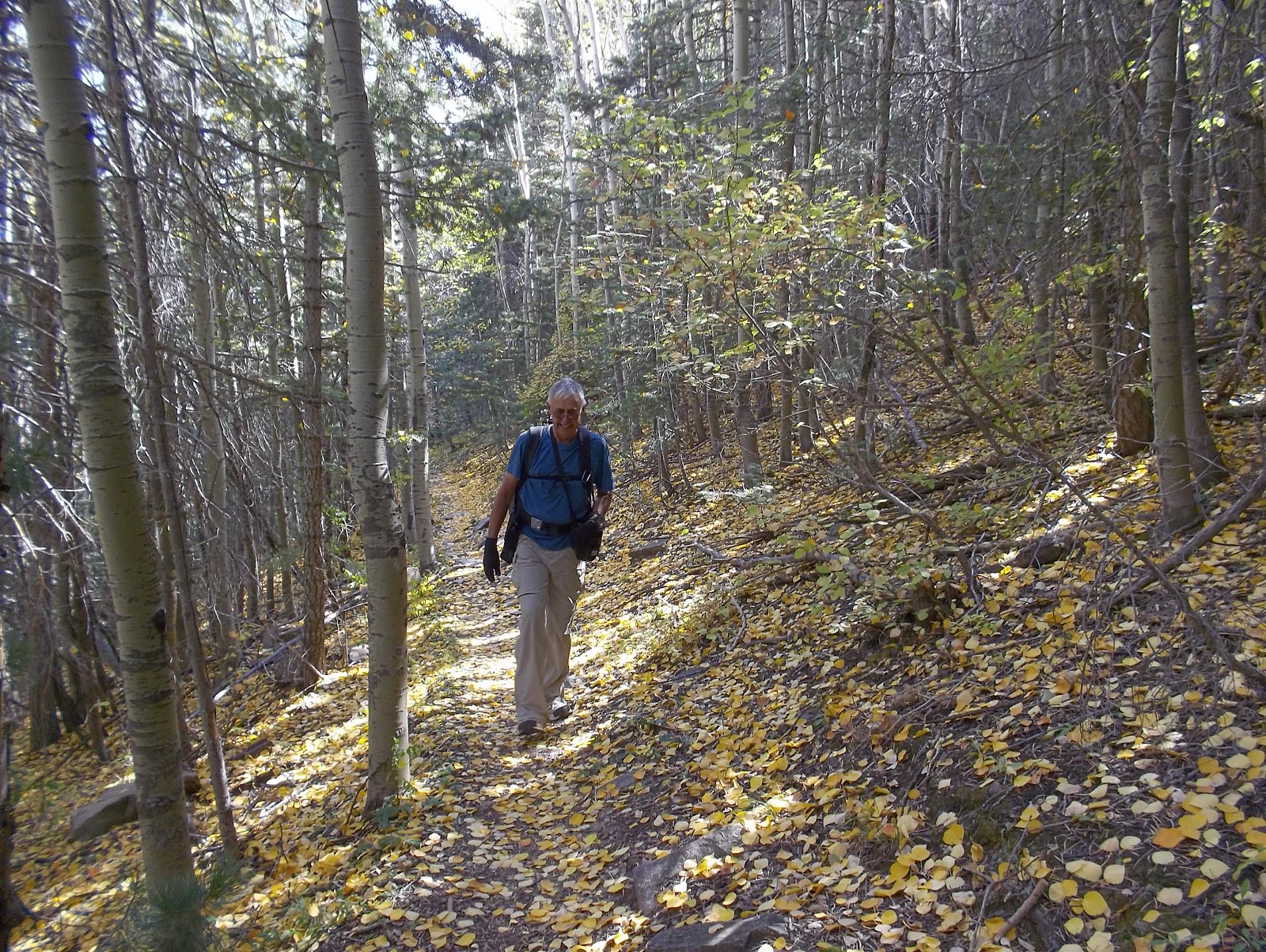
Our standards are changing. Today seemed like a leisurely walk in the woods. But we ended up with 9 miles and 1600 foot elevation gain.
The trail was really nice--mostly soft earth which is easy on the feet. And we happened to catch a beautiful autumn day when the leaves were falling all around us.


Occasionally we got some rather nice views, but they were nothing spectacular. The hike was really the woods themselves.

We reached the end of the trail to find a beautiful meadow. We found a nice log and had lunch. The only sound was the wind through the trees.


We hated to leave, but we had 4 1/2 miles back to our camper/home. On the way down we noticed a turn-off to Spruce Springs. Once again we had to ask why we didn't notice this on our ascent. It is a spring, about 300 feet below the trail. There was a horse trough there, although Vicky (who had horses for years) said the trail was too dangerous in spots for horses.
Our theory is that the campground used to provide water, and this was the source. There are remnants of what appear to be water spigots at the campground. But, that is just a guess.


We thoroughly enjoyed today's hike. We have hiked this place out, so early tomorrow morning will move on to another national forest in New Mexico. It has been great here.

Tonight at the campgrounds, when taking the trash to the bear-proof trash cans, I saw two wild turkeys. I yelled to Vicky, who came running, but by the time she got there they were gone.
Hike Report: Spuce Springs Trail, Monzano Mountain Wilderness, NM, from the Red Canyon Campgrounds
(Note that the elevation gain changes a bit when one disables the elevation correction. Note also that, as is typical with both my hiking and biking Garmins, elevation gain does not equal elevation loss, even though we always start and stop in the same exact location; I basically take an average of all of these figures to arrive at what I believe to be the best estimate of elevation gain. It is probably accurate to within 50 feet or so, which is pretty good. Usually it is within a few feet of elevation gains provided on the occasional trail map that reports elevation gains of hikes, which makes us feel confident in what we estimate when this information is not provided by trail maps. For this particular hike, the difference between elevation gain and loss is huge. This is due to an inaccurate reading at the beginning of the hike. The actual elevation gain is reflected in "elevation loss.")
Yay for trees. I was beginning to think this blog should be called "Between a Rock and a Hard Place." Altho, can't say it has too much to do with Life on Whidbey Island...
ReplyDelete