
After stopping for a night at the Cochise Stronghold National Monument, we headed toward our original goal--the Rucker Campground in the Chiricahua Mountains.
The drive there was difficult--27 miles on a dirt road.

This sure made us feel safe:


We got there, to find we were the only campers. It felt very isolated.
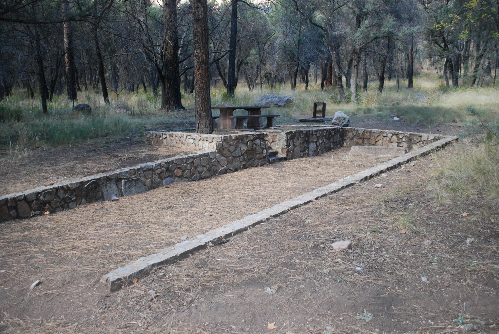
The campgrounds looked vintage, built in a way campgrounds are no longer built.


It looks like it was built decades before by the civilian conservation corps.
We had identified a couple of hikes that originated from the ,campground, so thought that today we would do one of them--Rucker Canyon.
For about two miles we followed a small creek bed:


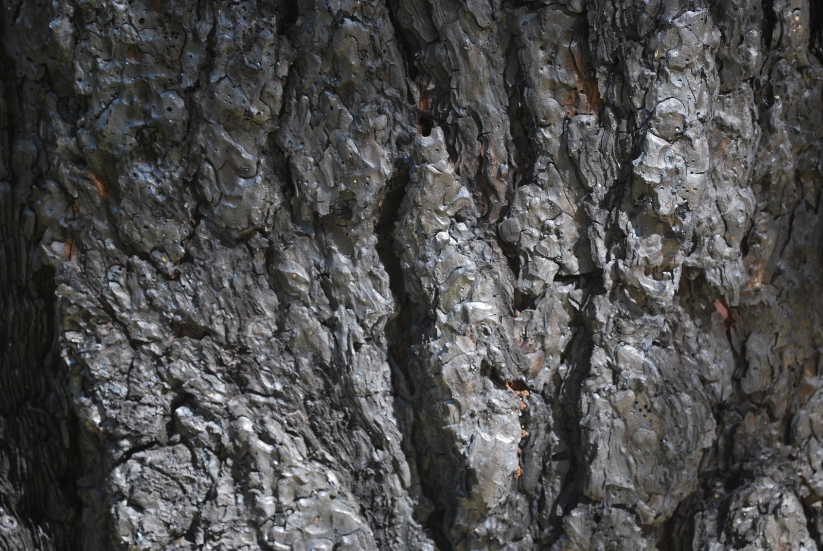
Like what we have seen in other areas, there was evidence of the recent, and extensive, fire damage:


After we had traveled two miles we lost the trail. It was obvious that someone had been doing his/her best to keep it so it could be followed, but the fire had destroyed too much of the forest canopy, resulting in extensive undergrowth which covered the trail. So we turned back, deciding to take the other trail.
But after half a mile on it, or so, we lost this trail too.
We decided that even though we had paid for two nights' camping, we were done with the area. We also didn't feel comfortable in the campground. It was too isolated. It was a nice campground, but we didn't think that it was really safe to be so far from any official presence, or from the presence of other people. The sign warning us of drug smugglers didn't help.
So we drove 90 miles north to the Arcadia campground outside of Safford, AZ. To get to this campground one drives up very winding and step roads.


So here we are tonight.

This is a family campground. We have tomorrow's hike all scoped out.
Hike Report: Rucker Canyon in the Chiricahua Mountains
(Note that the elevation gain changes a bit when one disables the elevation correction. Note also that, as is typical with both my hiking and biking Garmins, elevation gain does not equal elevation loss, even though we always start and stop in the same exact location; I basically take an average of all of these figures to arrive at what I believe to be the best estimate of elevation gain. It is probably accurate to within 50 feet or so, which is pretty good. Usually it is within a few feet of elevation gains provided on the occasional trail map that reports elevation gains of hikes, which makes us feel confident in what we estimate when this information is not provided by trail maps.)
No comments:
Post a Comment