
Our plan today was to ascend the Red Canyon trail to the Crest trail, take it 1.2 miles, and descend on the Spruce Spring Trail.
Things didn't go as planned, both because we missed a trail, and because there were two trails in the same area, going in the same direction, and only one was on the hiking map we were given at the ranger station. This is bad.
On our hiking map the Red Canyon trail is listed as being 2.4 miles (one direction) and 1100 elevation gain.
Wrong.
The distance was accurate, but our elevation gain was much greater--estimating from our Garmin hiking computer and from our own experience the gain was closer to 1800 feet. Our gain for the day was 2200 feet, which is a lot.
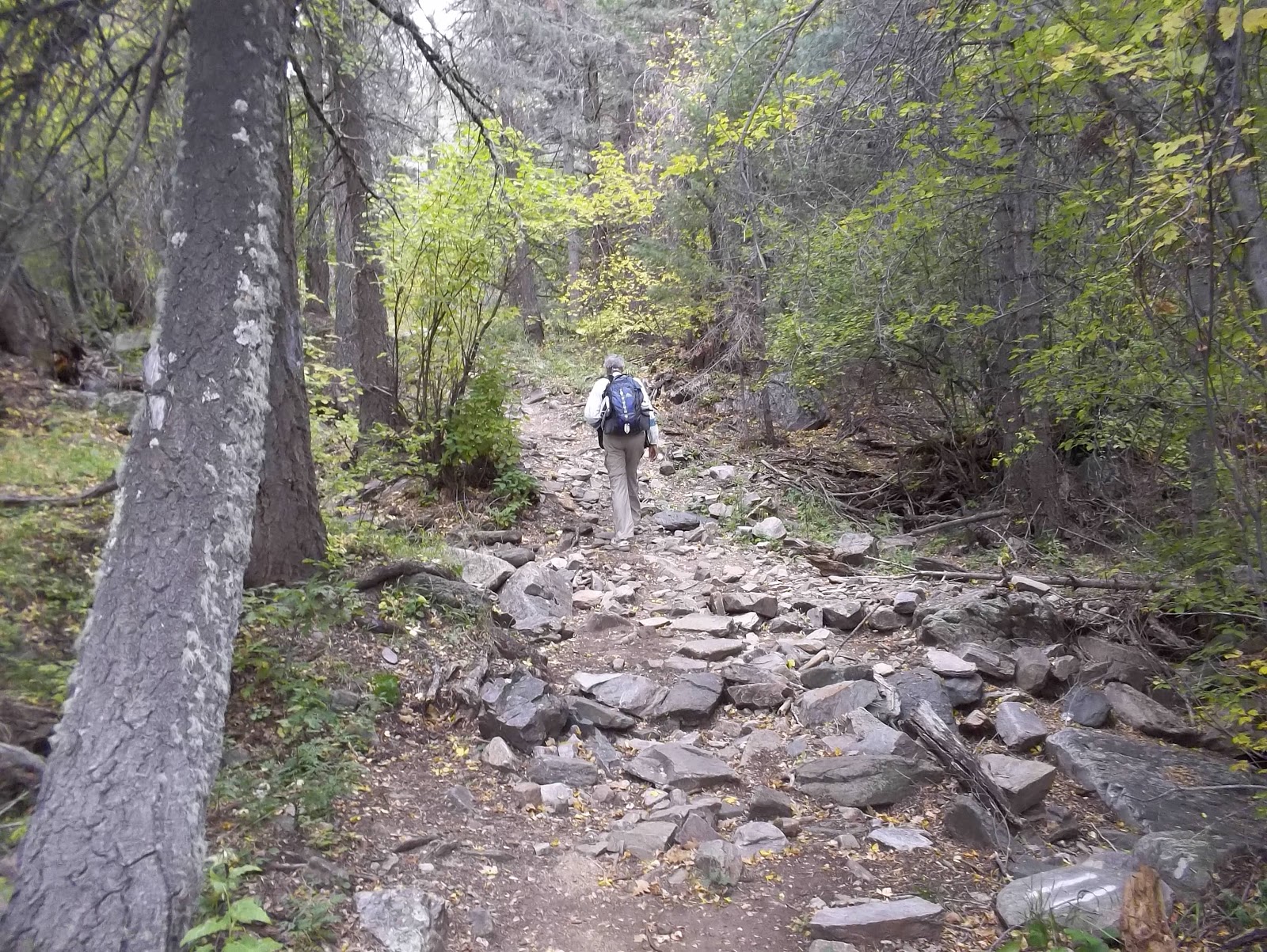
The hike to the Crest Trail was 2.4 miles of ascent. Virtually every foot of the way. The trail was usually rocky, which added to the difficulty.


To add to the difficulty, we began the hike at a high altitude (7500 feet) and ascended to over 9800 feet! There isn't a ton of oxygen at that altitude, and you really need a lot of oxygen when you are ascending at the rate of about 700 feet per mile.
We reached a sign indicating we had reached the Crest trail, and that is where the trouble began.


The above photo indicates the Crest Trail goes off to the right. But to our right we couldn't see a trail. However, there was a clear trail going upwards and then looping around to the right. Since there were no other trails on our map that intersected at this point, after some discussion we decided that the arrow to the right must mean this trail since it looped to the right.
Besides, we weren't at a crest, and we thought a Crest Trail would go along the crest.
We ascended a bit more and found a beautiful meadow with view of the Aspen. We had lunch there.


The trail was still good at this point, first marked by a large cairn. Then we saw pink ribbons in the trees and footprints indicating people had hiked there.


However, the trail was getting rougher and rougher.


In a short while we found ourselves scrambling over boulders and holding onto tree trunks to climb up and down steep areas. And all the while the trail was going in the direction that the Crest Trail went on our map and was marked by pink ribbons.
And also all the while we saw footprints of hikers. It WAS a trail, but an undeveloped one. Maintained and used but seriously undeveloped.
We thought it odd that the Crest Trail wasn't described this way on our hiking map. After about 1/4 miles we turned around. It did not feel safe. Too easy to fall or break an ankle. It was clearly a trail for a different kind of hiker.
We not do things that are dangerous. Difficult at times, yes, but neither of us finds thrill or excitement from living on the edge.
When we returned to the sign that had confused us we could see, going in the direction of the arrow, the trail! The one we should have taken. It branched off several feet below the sign, which is why we missed it on the hike up. You can see how we missed the Crest Trail on the link at the end of this blog entry. Unfortunately we didn't have this computer program with us.
Also why we missed it is because we were sloppy. Something didn't seem right at the time, and we jumped too soon at an explanation, which was that the trail going up and bearing right was the Crest Trail, and that the sign was just badly constructed.
But what was that other trail that seemed to go in the same direction? And why was it not on the trail map we were given at the ranger station? This is very unusual in our experience. And, oddly, the most beautiful sights on the trail were in the 1/4 mile we went above the Crest Trail. The Crest Trail isn't really at the crest!
If anybody from this ranger district is reading this (my fantasy), redo the map.
We were never in danger of being lost because we were following trail markers. Also, my Garmin creates a digital "trail" (it shows a little guy on the screen dropping crumbs--isn't that cute?). One can always follow those crumbs back to the trail head. It is a great safety device, and since most of our hikes are in areas, like today, where we are the only people on the trail, it gives us security. So does our two canisters of bear spray.
It was a good hike, and we learned something. We trusted our instincts to turn around when something felt wrong with the trail.
That was a good lesson.
We also saw some beautiful trees, catching the Aspen turning in that bright gold color that this tree is famous for. And frankly the best views of the Aspen were from the wrong trail we took. It was the one that actually went to the crest--not the correct one that was labeled the Crest Trail.
p.s. We can't figure out why it is called Red Canyon. We saw nothing at all that was red in color.
Hike Report: Red Canyon in the Cibola National Forest and Monzano Wilderness, NM. From the Red Canyon Campground
(Note that the elevation gain changes a bit when one disables the elevation correction. Note also that, as is typical with both my hiking and biking Garmins, elevation gain does not always equal elevation loss, even though we always start and stop in the same exact location; I basically take an average of all of these figures to arrive at what I believe to be the best estimate of elevation gain. It is probably accurate to within 50 feet or so, which is pretty good. Usually it is within a few feet of elevation gains provided on the occasional trail map that reports elevation gains of hikes, which makes us feel confident in what we estimate when this information is not provided by trail maps.)
No comments:
Post a Comment