


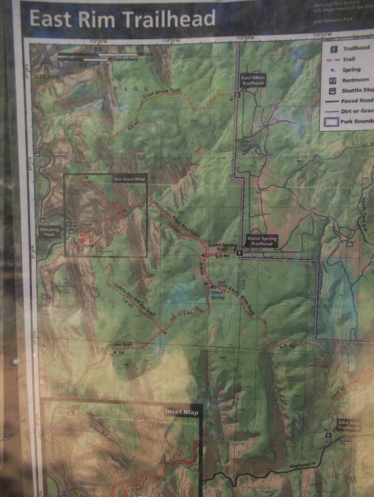
The East Rim Trail is a long one, much longer than we could do in a day. It begins at the boundary of the park and works its way to the rim. That's a hike of some 8 miles, which is fine as long as somebody comes and picks us up in a helicopter and takes us back to the car.
However, since we have to walk back instead, we hiked in 4 1/4 miles, making the whole hike 8.5 miles, with about 1200 foot elevation gain. A good solid hike to be sure. It was also hot most of the time, since we were rarely in shade. We were tired when we got back to the car and began our hour drive back to our camper. But we were glad to see a part of the park that is still mostly in its original wilderness shape.


Here we are at Jolly Gulch:

Looking down into Jolly Gulch from the top:

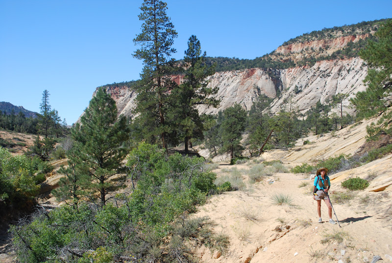
After we left Jolly Gulch, we climbed about one more mile. For most of this time we were in country where at one time there had been a fire. There was a lot of brush, and burned trees:

The rock faces were beautiful:

The trail was sandy. I took off my shoe and sand poured out onto the floor. Vicky suggested I take the other one off outside.

Today's nature photograph. Buffalo just outside the park:

Hike Report: East Rim Trail, Zion National Park, UT
(Note that the elevation gain changes a bit when one disables the elevation correction. Note also that, as is typical with both my hiking and biking Garmins, elevation gain does not always equal elevation loss, even though we always start and stop in the same exact location; I basically take an average of all of these figures to arrive at what I believe to be the best estimate of elevation gain. I also use data from two different Garmin computer programs, which usually provide slightly different estimates (one Garmin uses Google Maps and the other uses barometric pressure to estimate elevation). The figure I arrive at is probably accurate to within 50 feet or so, which is pretty good. Also, usually it is within a few feet of elevation gains provided on the occasional trail map that reports elevation gains of hikes, which makes us feel confident in what we estimate when this information is not provided by trail maps.)
No comments:
Post a Comment