

Two days ago we stood at the crest of Losee Canyon and looked longingly down into it. Today we hiked through it. It was another wonderful hike. Not too strenuous, but still great exercise (7 miles, 700 ft elevation gain).
And today we crossed the 200-mile mark for 2012 hikes!
One of our goals was to see if we could identify the spot where we had looked down into the canyon. That might seem relatively easy, but with all of the rock formations in this canyon it was anything but. However, we got lucky. We heard people yelling to us from the same overlook we were at two days ago, and so we could wave to them. They are in this photo. See them?
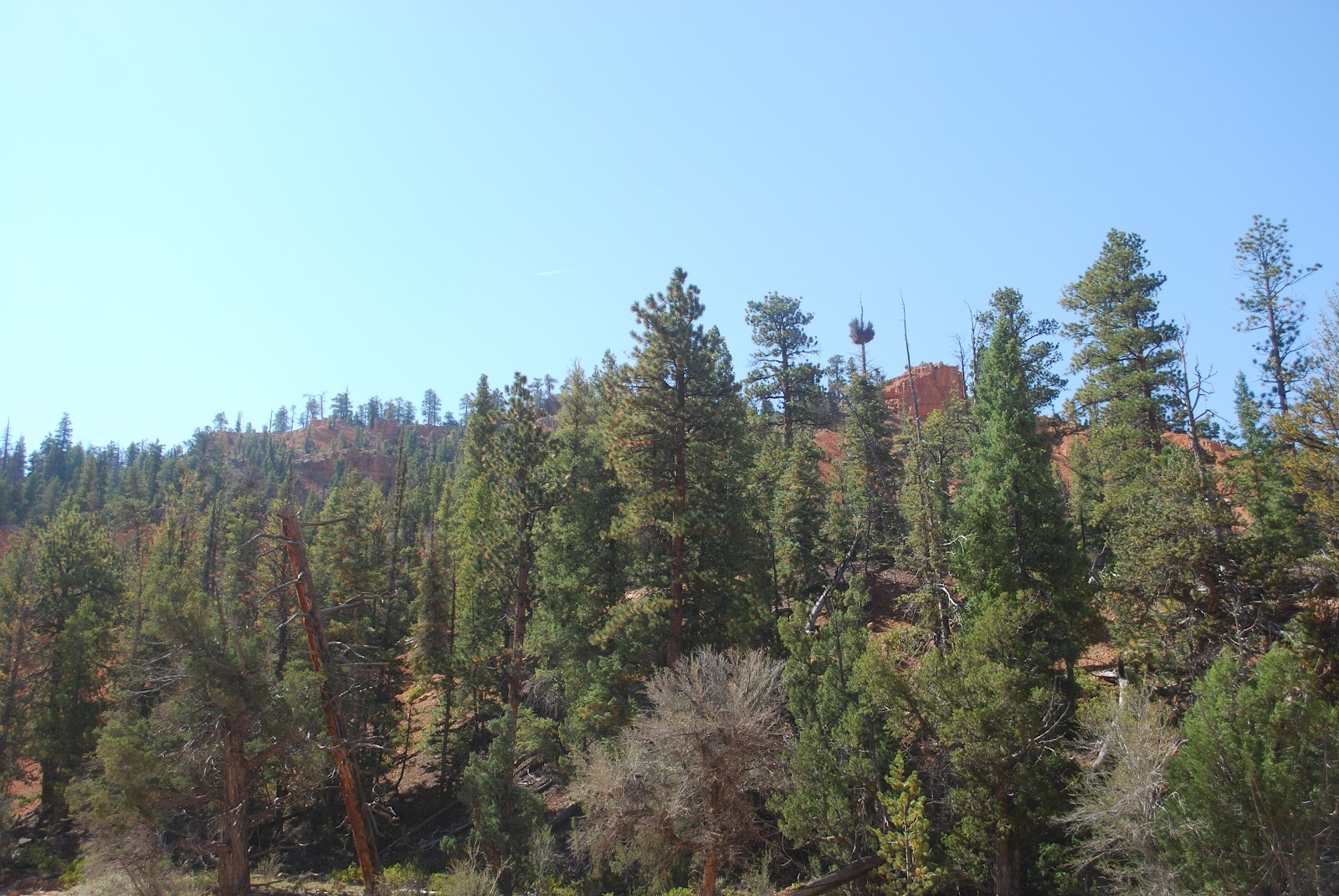
Anyway, I don't, and I thought for sure I'd remember about where they were when I shot the photo, and well you know how that goes.
The trail led through the canyon floor where we were frequently dwarfed by large red cliffs and rocks. It went that way for about three miles, until we hit the Cassidy Trail.


We had gone three miles when we hit the Cassidy Trail. We decided to take this Cassidy Trail about one half mile to see what "Little Desert" was. It was listed on our hiking map, but there was no description of it in our brochure. We're glad we did. A different kind of landscape. Very beautiful. That's where we had lunch.


For almost the entire four and a half hours we had the place practically to ourselves. We ran into one other small hiking group, and two groups of riders. But otherwise, all we heard was the wind through the trees in the canyon.
Today's nature photograph.

Hike Report: Losee Canyon, from Red Canyon, UT
(Note that the elevation gain changes a bit when one disables the elevation correction. Note also that, as is typical with both my hiking and biking Garmins, elevation gain does not always equal elevation loss, even though we always start and stop in the same exact location; I basically take an average of all of these figures to arrive at what I believe to be the best estimate of elevation gain. I also use data from two different Garmin computer programs, which usually provide slightly different estimates (one Garmin uses Google Maps and the other uses barometric pressure to estimate elevation). The figure I arrive at is probably accurate to within 50 feet or so, which is pretty good. Also, usually it is within a few feet of elevation gains provided on the occasional trail map that reports elevation gains of hikes, which makes us feel confident in what we estimate when this information is not provided by trail maps.)
No comments:
Post a Comment